The proposal to rezone and annex 146 wooded acres between Guess and Bivins road has been voided! See our latest UPDATE. However, we will continue using this website to share information in case a new proposal to develop this land is submitted. We also hope the resources here will be helpful to other community groups and our neighbors. Finally, we plan to keep sharing what we learn about how we can permanently protect North Durham from over-development and urban sprawl.
It can be difficult to fully appreciate the massive size of this proposed development from the ground so we have posted aerial video to help show some of the important natural features, the extent of mature hardwood forests and the slopes. We will be adding additional video of the very steep terrain on the southwestern portion of the parcel.
Facing west towards Russell Road
This video begins with a the drone camera facing west towards Russell Rd. It circles clockwise starting at Genesee Drive in Willow Hill. This privately maintained road will likely be connected to roads within the proposed development, which has raised concerns about road maintenance and traffic on Bramble Drive. About 150 homes in Willow Hill use the single neighborhood entrance/exit at Bramble and Guess Roads. The video then shows newly cut roads in a a large section of the parcel that was clear-cut in 2009. The camera continues circling over mature hardwoods and a large pond with an island that is located in the northwestern part of the 147.5 acre parcel. The video ends with the camera facing northeast. For a map reference, please see https://goo.gl/maps/cms2MV9wUxAPTJSS8 The large pond and Genesee Rd are good reference points.
Facing East Towards Guess Road
This video begins with a the drone camera facing northeast. It circles clockwise around a large pond with an island that is located in the northwestern part of the 147.5 acre parcel. The video ends with the camera facing southeast. Ashfield Place is visible at the top of the screen for much of the video starting at 00:37. Autumn Ridge appears briefly on the right at 00:41. For a map reference, please see https://goo.gl/maps/cms2MV9wUxAPTJSS8 The large pond is clearly visible on this map as a reference point.
Still photos
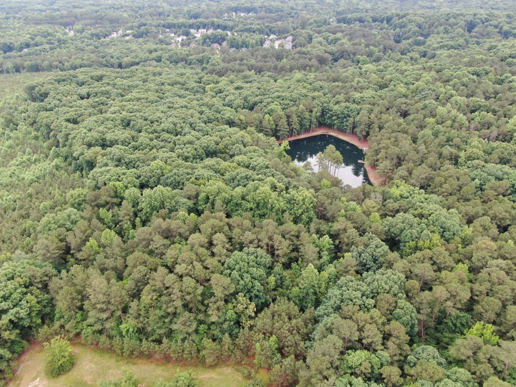
Looking South 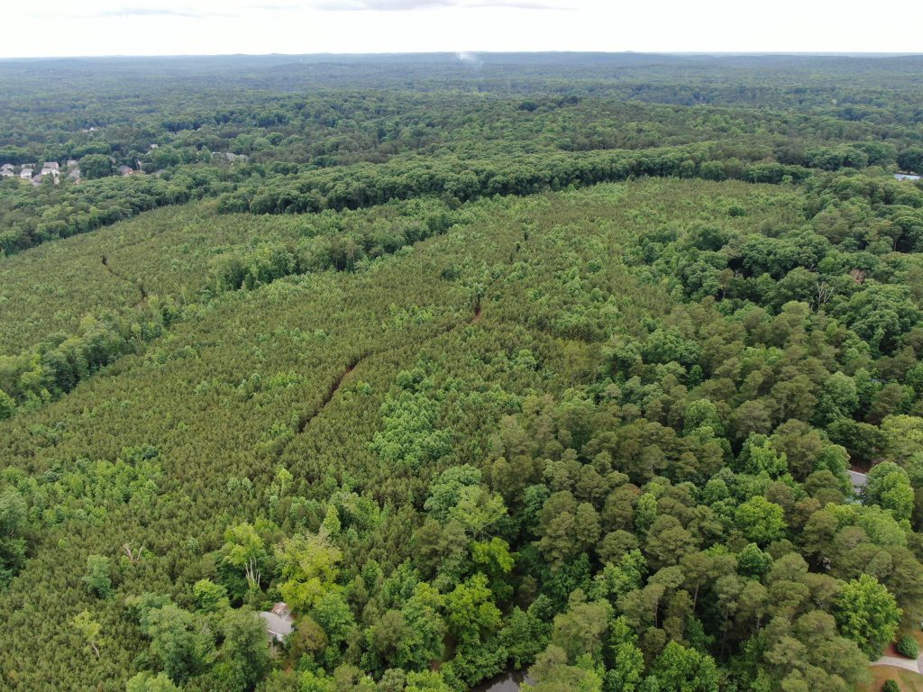
Looking West 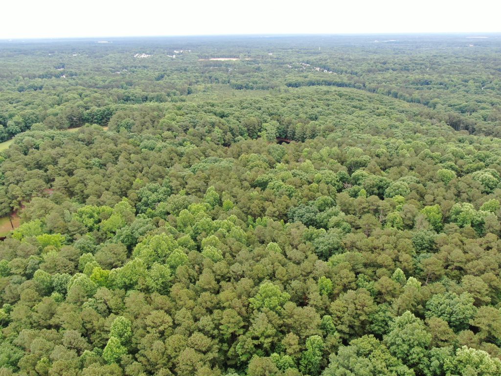
Looking East 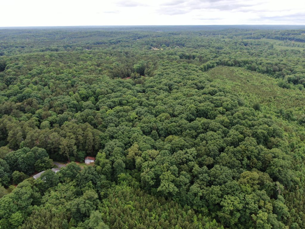
Looking Northwest
Interactive Map
The pin is in the pond that is show in the videos and photos. I have not been able to create an overlay with the property boundaries, but it includes nearly all of the open land bounded by Willow Hill on the north, Guess Rd on the east, Bivins Rd/Autumn Ridge on the south and Russell Rd on the west. Please note that the surrounding developments are about 1-2 houses per acre and the developer is requesting nearly 4 units (town homes and houses) per acre.